Helping to Support Teaching and Learning
-
Vibrant Colours
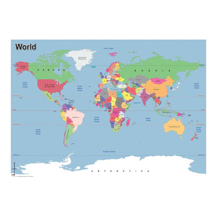
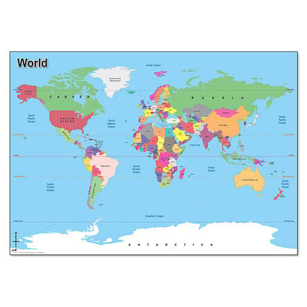
Featuring bright colours, this map engages children in learning global geography, making it simpler to identify different regions around the world.
-
Classroom Durability
Designed specifically for classroom use, this A1-sized map is crafted from durable paper, guaranteeing longevity and usability in teaching environments.
-
Geographical Markers
By showcasing key geographical markers such as country borders, capital cities, and major oceans, this map robustly paves the way for better geographical understanding.
-
Curriculum Support
Supports Key Stage 1 and 2 geography curriculum, essential for imparting locational knowledge and sharpening map reading skills effectively.
-
Key Stage 1 Learning
Facilitates Key Stage 1 geography, helping children identify the UK, its countries, and global regions, enhancing their geographical understanding.


