Images

Save up to £200*

Bee-Bot® World Map

Product Code: make all selections to view product code
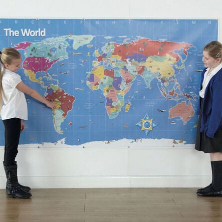
Explore our planet with the interactive Bee-Bot® world map, showcasing geographical highlight.
Read more

Promotions

Product Actions

Add to cart options

Variations

Please make all your selections
From £32.99 ex VAT
Please make a selection

Product Information

Overview

Helping to Support Teaching and Learning

Interactive Learning

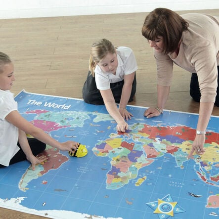
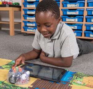
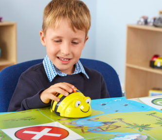
Designed specifically for use with Bee-Bot® or and Blue-Bot®, this world map enhances interactive learning, making geography engaging and accessible for children.

Rich Visual Experience

Featuring vivid images of wildlife, landmarks, and transport, the map provides a rich visual experience, deepening children's understanding of the world.

Easy Classroom Setup

Equipped with eyelets for easy wall hanging, this map offers versatility in classroom setup, ensuring geography is a focal point of learning.

Curriculum Aligned

Supports Key Stage 2 Geography, aiding in the development of geographical skills and understanding of locational knowledge through practical application.

Grid Reference Mastery

Facilitates hands-on learning with grid references for Bee-Bot® navigation, helping children master 4 and 6 figure grid references in an interactive manner.

Your TTS photos

Tag your photos #takingoverTTS

Bee-Bot® World Map

Explore our planet with the interactive Bee-Bot® world map, showcasing geographical highlight.

Overview

  • The Bee-Bot® World Map serves as a comprehensive tool, making geography engaging and fun for primary education. It integrates wildlife, landmarks, and transport imagery, fostering an interactive learning environment. It encourages children to navigate through continents, countries, and capitals, effectively bringing lessons to life.

  • Supporting Key Stage 2 Geography, the map enhances teachings of geographical skills and locational knowledge. It helps in teaching crucial concepts such as the significance of the Equator, Tropics, and understanding different regions across the globe. Furthermore, it aids in teaching 4 and 6 figure grid references KS2, a vital skill in geography.

  • With convenient eyelets for hanging, it transforms learning spaces into interactive geography hubs. It's specifically designed to enhance the learning experience with Bee-Bot®, creating hands-on opportunities for spatial awareness and global understanding.

Supports the National Curriculum

Geography, Key Stage 2, Geographical Skills & Fieldwork

Use maps, atlases, globes and digital/computer mapping to locate countries and describe features studied.

Geography, Key Stage 2, Locational Knowledge

Identify the position and significance of latitude, longitude, Equator, Northern and Southern Hemisphere, Tropics of Cancer and Capricorn, Arctic, Antarctic Circle, Greenwich Meridian and time zones.

Geography, Key Stage 2, Locational Knowledge

Locate the world’s countries, using maps to focus on Europe concentrating on their environmental regions, key physical and human characteristics, countries, and major cities.

Product Information

Overview

    Material

  • Vinyl

Questions

Reviews