Images

Save up to £150*

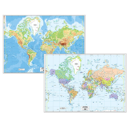
World Map Reversible Political and Physical A0

Product Code: G-WM
A double-sided, A0-sized world map showcasing political and physical aspects.
Read more

Promotions

Product Actions

Add to cart options

Variations

Please make all your selections
£34.99 ex VAT £ 34.99 inc VAT

Hurry, less than 10 available

Product Information

Overview

Helping to Support Teaching and Learning

Geographical Skills Support

Supports Key Stage 2 Geography curriculum, particularly in developing geographical skills and fieldwork through map usage.

Dual-Sided Design

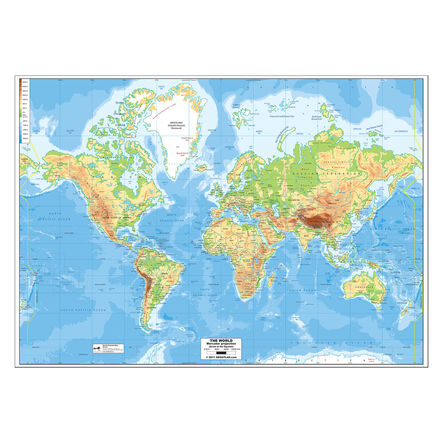
Featuring a dual-sided design, this map offers both political and physical views of the world, making it a versatile teaching aid.

Large Format

With dimensions of W130 x L80cm, this large map allows for easy viewing by the whole class, facilitating group discussions and activities.

Visual Learning Aid

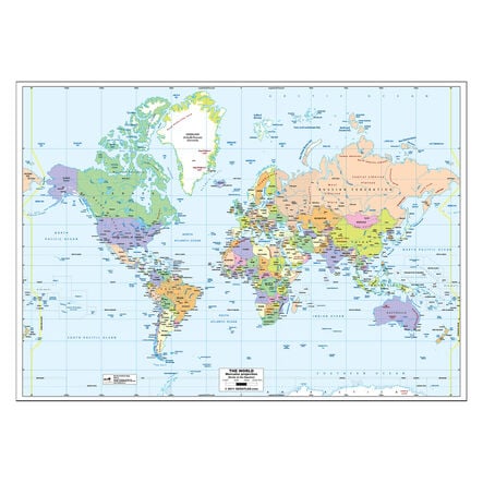
The map showcases countries in attractive pastel shades, enhancing visual learning and making geographical distinctions clearer.

Your TTS photos

Tag your photos #takingoverTTS

World Map Reversible Political and Physical A0

A double-sided, A0-sized world map showcasing political and physical aspects.

Overview

  • This A0 reversible world map is essential for Key Stage 2 classrooms, offering a dual-purpose teaching resource. Made from paper and sized at W130 x L80cm, it ensures clear visibility for all students. It features a political map with countries in pastel colours, capitals, and main cities on one side, with the Earth's physical geography highlighted on the reverse. This supports the Key Stage 2 Geography curriculum, enriching lessons on geographical skills and locational knowledge.

  • The map aids in teaching both physical geography, including climate zones and rivers, and human geography, such as settlement patterns. As a vivid visual aid, it assists in explaining complex geographical concepts.

  • Ideal for classroom interaction, this map encourages geographical exploration and learning, making it a significant asset for teaching geography through visualisation and comprehensive coverage.

Supports the National Curriculum

Geography, Key Stage 2, Geographical Skills & Fieldwork

Use maps, atlases, globes and digital/computer mapping to locate countries and describe features studied.

Geography, Key Stage 2, Human & Physical Geography

Describe and understand key aspects of physical geography and human geography, including types of settlement and land use, economic activity, and the distribution of natural resources.

Geography, Key Stage 2, Locational Knowledge

Identify the position and significance of latitude, longitude, Equator, Northern and Southern Hemisphere, Tropics of Cancer and Capricorn, Arctic, Antarctic Circle, Greenwich Meridian and time zones.

Product Information

Overview

    Material

  • Paper

  • Age Range

  • Suitable for 7 to 11 years

Size and measurements

    Length

  • 80 cm

  • Width

  • 130 cm

Questions

Reviews