Images

Save up to £200*

World Landmarks Map Signboards

Product Code: make all selections to view product code
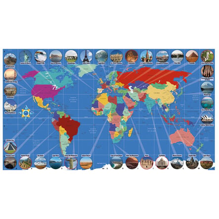
A detailed map showcasing global landmarks and geographic features to boost educational engagement.
Read more

Promotions

Product Actions

Add to cart options

Variations

Please make all your selections
£24.99 ex VAT £ 29.99 inc VAT
Please make a selection

Product Information

Overview

Helping to Support Teaching and Learning

Geographic Learning

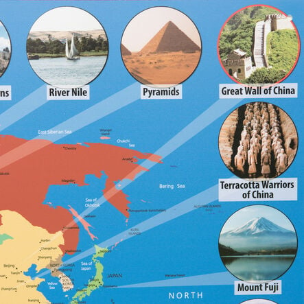
This map features the seven modern wonders of the world, continents, and countries, enhancing geographic learning and supporting children in developing their geographical knowledge and skills.

Interactive Gridlines

This map with alphanumeric gridlines is ideal for interactive use with Bee-Bot and Blue-Bot, enhancing spatial awareness and navigation skills through basic coordinate work.

Durable Material

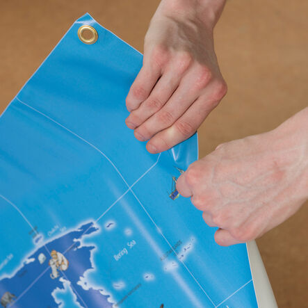
Constructed from a laminated material, this map offers a robust option for frequent interaction in educational settings, suited for hands-on activities.

Visual Engagement

The detailed representation of iconic landmarks and geographical features captures children's attention and fosters engagement and curiosity about the world.

Curriculum Support

This map teaches locational knowledge, place knowledge, and geographical skills and fieldwork, aligning with the Key Stage 1 and 2 geography curriculum.

Your TTS photos

Tag your photos #takingoverTTS

World Landmarks Map Signboards

A detailed map showcasing global landmarks and geographic features to boost educational engagement.

Overview

  • The World Landmarks map is a great resource for teaching Key Stage 1 and 2 geography. It vividly outlines continents, countries, and the seven modern wonders of the world, aiding students in developing a comprehensive understanding of the globe.

  • It is particularly useful for practice in locational knowledge and geographical skills as stated in the national curriculum. Children can engage with interactive tasks such as finding coordinates or exploring different countries using tools like Bee-Bot and Blue-Bot.

  • The map is supplied in two parts and is constructed from durable, laminated materials making it suitable for regular classroom use. Its visually engaging content captures the attention of children, encouraging questions and exploration, which is fundamental in cultivating an informed interest in geography.

Supports the National Curriculum

Geography, Key Stage 2, Geographical Skills & Fieldwork

Use maps, atlases, globes and digital/computer mapping to locate countries and describe features studied.

Geography, Key Stage 2, Place Knowledge

Understand geographical similarities and differences through the study of human and physical geography of a region of the United Kingdom, a region in a European country and North or South America.

Geography, Key Stage 2, Locational Knowledge

Locate the world’s countries, using maps to focus on Europe concentrating on their environmental regions, key physical and human characteristics, countries, and major cities.

Product Information

Overview

    Orientation

  • Landscape

  • Material

  • Vinyl

  • Age Range

  • Suitable for 10 months to 11 years

Questions

Reviews