Images

Save up to £200*

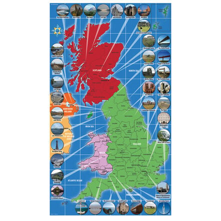
UK Landmarks Map

Product Code: make all selections to view product code
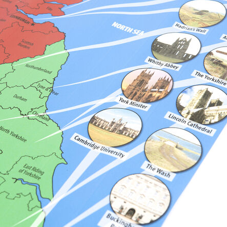
Navigate the UK's geography, unveiling iconic landmarks and features through this educational map.
Read more

Promotions

Product Actions

Add to cart options

Variations

Please make all your selections
£22.99 ex VAT £ 27.59 inc VAT
Please make a selection

Product Information

Overview

Helping to Support Teaching and Learning

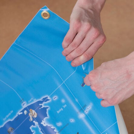
Durable Materials

Robust vinyl for indoor learning and weather-resistant foamex for outdoor activities ensure durability and versatility in any learning environment.

Interactive Learning

Alphanumeric gridlines feature for basic co-ordinate work, support interactive geography lessons, and enhance spatial awareness.

Curriculum Support

Aligns with Key Stage 1 and 2 geography curriculums and aids in identifying the UK, its countries, and in developing geographical vocabulary.

Versatile Use

Ideal for diverse teaching methods, this map's weather-resistant foamex and durable vinyl materials make it perfect for both indoor and outdoor educational activities.

Geographical Skills

Encourages practical learning through fieldwork and exploration, and supports the curriculum's aim to use world maps and atlases for identifying the UK and its features.

Your TTS photos

Tag your photos #takingoverTTS

UK Landmarks Map

Navigate the UK's geography, unveiling iconic landmarks and features through this educational map.

Overview

  • The TTS UK Landmarks Map is an invaluable resource for bringing geography to life for children. Made from vinyl for classroom use and weather-resistant foamex for outdoor learning, this map showcases the landmarks and landscapes of the UK. With alphanumeric gridlines for co-ordinate work, it's designed to support interactive learning.

  • Suited to the Key Stage 1 and 2 geography curriculum, it encourages children to identify the UK and its countries and explore physical and human features. The convenient size of 0.45m x 0.8m fits well in any learning space, promoting group work and collaborative discovery.

  • This map provides a dynamic pathway for geographical exploration, encouraging children to engage actively with their learning environment. By integrating curriculum-focused content with practical application, it fosters an enriched understanding of the UK's physical and cultural heritage.

Supports the National Curriculum

Geography, Key Stage 1, Geographical Skills & Fieldwork

Use world maps, atlases and globes to identify the United Kingdom and its countries, as well as the countries, continents and oceans studied at this key stage.

Geography, Key Stage 1, Human & Physical Geography

Use basic geographical vocabulary to refer to key physical features and key human features.

Geography, Key Stage 1, Locational Knowledge

Name, locate and identify characteristics of the 4 countries and capital cities of the United Kingdom and its surrounding seas.

Product Information

Overview

    Orientation

  • Portrait

  • Material

  • Vinyl

  • Age Range

  • Suitable for 10 months to 11 years

Questions

Reviews