Images

Save up to £200*

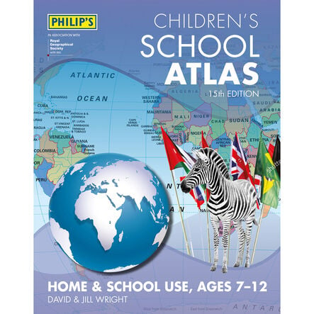
Philip's Children's Atlas KS2

Product Code: GE00706
An essential geographical guide with clear maps and illustrations for young learners.
Read more

Promotions

Product Actions

Add to cart options

Variations

Please make all your selections
£14.99 ex VAT £ 14.99 inc VAT

In Stock

Product Information

Overview

Helping to Support Teaching and Learning

Award-Winning Content

The Geographical Association recognises this atlas for its 'significant contribution' to geography, celebrating it for its educational value and engaging content.

Engaging Illustrations

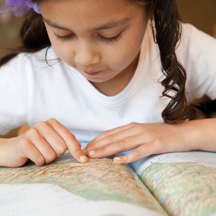
Filled with beautifully illustrated images and full colour photography, the atlas captivates children's interest and makes learning geography enjoyable.

Curriculum Support

Specifically designed to support Key Stage 2 geography, this atlas covers crucial topics like geographical skills, locational knowledge, and place knowledge.

Accessible Learning

With clear maps and easy-to-understand content, it's tailored for young readers, making complex geographical concepts accessible.

Geographical Skills Enhancement

Supports the development of geographical skills and fieldwork, encouraging the use of maps and digital mapping to explore the world.

Your TTS photos

Tag your photos #takingoverTTS

Philips Children's Atlas KS2

An essential geographical guide with clear maps and illustrations for young learners.

Overview

  • Philip's Children's Atlas KS2, is a past winner of the Geographical Association's award for 'significant contribution' to geography. It simplifies geography with easy-to-understand maps and engaging illustrations aimed at young learners. This resource is invaluable for mastering geographical skills and fieldwork, locational knowledge, and place knowledge, leveraging both digital and print maps to investigate global regions.

  • Aligned with the Key Stage 2 curriculum, it covers the physical and human geography of the UK, Europe, and the Americas, improving understanding and interest among readers. Designed to foster geographical exploration and knowledge, it's an excellent addition to the classroom.

  • With a sturdy paperback cover and 96 pages of colourful illustrations and photographs, this atlas is a key resource for developing map-reading skills and geographic awareness, enhancing the educational experience for budding geographers.

Supports the National Curriculum

Geography, Key Stage 2, Geographical Skills & Fieldwork

Use maps, atlases, globes and digital/computer mapping to locate countries and describe features studied.

Geography, Key Stage 2, Locational Knowledge

Identify the position and significance of latitude, longitude, Equator, Northern and Southern Hemisphere, Tropics of Cancer and Capricorn, Arctic, Antarctic Circle, Greenwich Meridian and time zones.

Geography, Key Stage 2, Locational Knowledge

Locate the world’s countries, using maps to focus on Europe concentrating on their environmental regions, key physical and human characteristics, countries, and major cities.

Product Information

Overview

    Pack size

  • Single

  • Number of pages

  • 96

  • Age Range

  • Suitable for 4 to 8 years

Questions

Reviews