Images

Save up to £150*

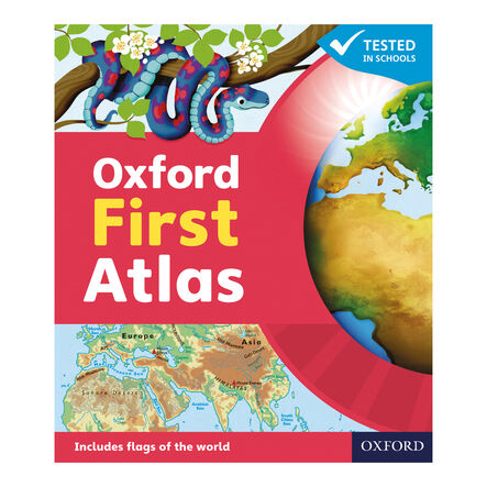
Oxford First Atlas

Product Code: make all selections to view product code
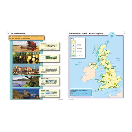
Explores key geographical themes including coasts, rivers, mountains, and the environment.
Read more

Promotions

Product Actions

Add to cart options

Variations

Please make all your selections
From £9.99 ex VAT
Please make a selection

Product Information

Overview

Helping to Support Teaching and Learning

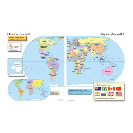
Colourful Maps

Featuring clear and colourful maps, this atlas makes geographical learning visually engaging for children, enhancing their understanding of the world.

Aerial Photographs

Includes stunning aerial photographs that provide a unique perspective on geography, enriching children's learning experience.

Learning Aids

Equipped with picture keys and map symbols, it simplifies navigation and helps children grasp complex geographical concepts easily.

Special Interest Topics

Covers topics of special interest that captivate children's curiosity, encouraging deeper exploration of geographical themes.

Curriculum Aligned

Supports Key Stage 1 Geography, particularly in developing skills to use maps, atlases, and globes for identifying key global and UK locations.

Your TTS photos

Tag your photos #takingoverTTS

Oxford First Atlas

Explores key geographical themes including coasts, rivers, mountains, and the environment.

Overview

  • Designed to be accessible and engaging, this atlas offers a vibrant introduction to geography. With its focus on the British Isles and key global locations, it's an excellent tool for opening up the world to young learners. The atlas is not only visually appealing but also informative, supporting children’s understanding of their world.

  • Aligned with the Key Stage 1 Geography curriculum, the atlas is particularly useful for 'Geographical skills and fieldwork' and 'Place knowledge'. It aids in identifying the UK, its countries, and major global features with world maps, atlases, and globes. It also introduces the fundamentals of human and physical geography in an easy-to-understand manner.

  • With 48 pages full of colourful maps, aerial photographs, and engaging topics of special interest, this atlas includes picture keys and map symbols to aid learning. It's crafted to assist with map reading skills, making it a valuable addition to education both in the classroom and at home.

Supports the National Curriculum

Geography, Key Stage 1, Geographical Skills & Fieldwork

Use world maps, atlases and globes to identify the United Kingdom and its countries, as well as the countries, continents and oceans studied at this key stage.

Geography, Key Stage 1, Place Knowledge

Understand geographical similarities and differences through studying the human and physical geography of a small area of the United Kingdom, and of a small area in a contrasting non-European country.

Product Information

Overview

    Age Range

  • Suitable for 5 to 7 years

Questions

Reviews