Images

Continents and Oceans Maps and Activities Pack

Product Code: GE00735
Explore global geography with vibrant maps and guides designed to enhance teaching and learning.
Read more

Product Actions

Add to cart options

Variations

Please make all your selections
£29.99 ex VAT £ 35.99 inc VAT

Hurry, less than 10 available

Technical Summary

Overview

Helping to Support Teaching and Learning

Comprehensive Map Details

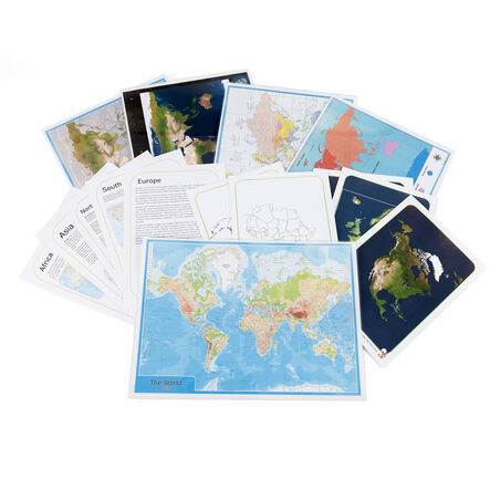
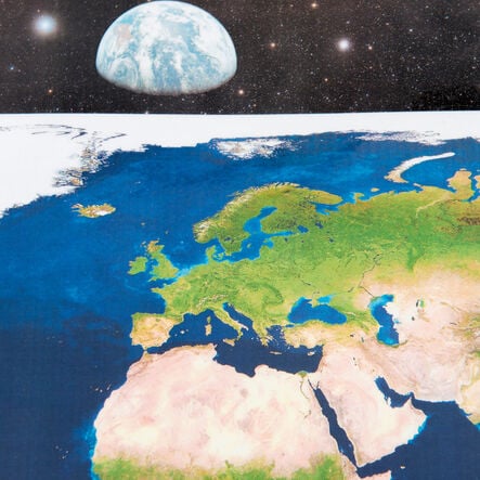
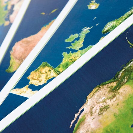
This pack includes views of Earth from space and detailed ocean floor topography, providing visual tools for teaching geography.

Teacher Support Materials

This set includes comprehensive teacher notes covering the details of the world's continents and oceans, supporting effective classroom instruction.

Versatile Educational Tool

Includes high-quality photocopiable outlines of all seven continents, enhancing the way geography is taught and referenced in educational settings.

Curriculum Aligned

Supports educational requirements by aligning with Key Stage 1 and Key Stage 2 curricula, enhancing students' geographical knowledge and skills.

Locational Knowledge Enhancement

Facilitates children's ability to identify and locate continents and oceans, directly meeting the requirements of Key Stage 1 geography objectives.

Your TTS photos

Tag your photos #takingoverTTS

Continents and Oceans Maps and Activities Pack

Explore global geography with vibrant maps and guides designed to enhance teaching and learning.

Overview

  • Enhance your geography lessons with this engaging pack, which includes maps, comprehensive educational content and detailed teachers notes. With these tools, teachers can provide interactive sessions that delve into the physical and political aspects of our world. A view of Earth from space and detailed depictions of the ocean floor are particularly effective for highlighting geographical features in an educational setting.

  • The pack aligns with the UK curriculum, specifically supporting students in using maps, atlases, and globes to accurately locate and describe significant global features. It is an ideal resource for introducing geographical skills and fieldwork at Key Stage 1 and 2 levels.

  • Additionally, the included high-quality, photocopiable outlines of all seven continents serve as versatile tools for hands-on learning. These outlines enable students to engage actively with the subject matter, enhancing their geographical understanding and skills in a practical, memorable manner.

Supports the National Curriculum

Geography, Key Stage 1, Locational Knowledge

Name and locate the world’s 7 continents and 5 oceans.

Geography, Key Stage 1, Geographical Skills & Fieldwork

Use world maps, atlases and globes to identify the United Kingdom and its countries, as well as the countries, continents and oceans studied at this key stage.

Geography, Key Stage 2, Geographical Skills & Fieldwork

Use maps, atlases, globes and digital/computer mapping to locate countries and describe features studied.

Technical Summary

Overview

    Age Range

  • Suitable for 4 to 11 years

Questions

Reviews