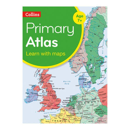
Collins Primary World Atlas

Product Code: GCPWA
Aimed at children aged 7-11, this atlas is ideal for understanding global geography.
Read more

Product Actions

Add to cart options

Variations

Please make all your selections
£11.99 ex VAT £ 11.99 inc VAT

Estimated delivery in 6 weeks

Technical Summary

Overview

Helping to Support Teaching and Learning

Comprehensive Geography Aid

This atlas serves as an invaluable reference for diverse geography lessons, offering detailed maps and illustrations that simplify complex geographical concepts for children.

Engaging Visuals

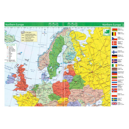
Featuring easy-to-read maps complemented by satellite, aerial, and terrestrial photographs, it brings geography to life, making learning more interactive.

Mapping Skills Development

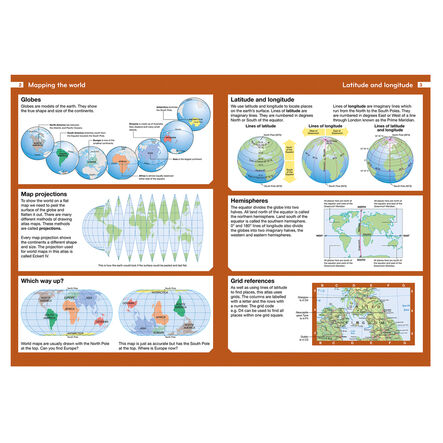
Introduces essential map reading skills, including understanding scales and measuring distances, equipping children with foundational geographical knowledge.

Curriculum Aligned

Supports Key Stage 2 geography curriculum, aiding in locational knowledge through practical map usage.

Geographical Skills Enhancement

Utilises maps, atlases, and digital resources to locate countries and describe features, directly supporting Key Stage 2 geographical skills and fieldwork.

Your TTS photos

Tag your photos #takingoverTTS

Collins Primary World Atlas

Aimed at children aged 7-11, this atlas is ideal for understanding global geography.

Overview

  • The Collins Primary World Atlas KS2 supports understanding of global geography through vibrant, up-to-date maps. These reference maps are clearly marked with national capitals and major cities. Continental maps are supported with a selection of satellite, aerial and terrestrial photographs. Location boxes and key facts are also included to enhance learning.

  • Map reading skills are a focus, teaching children about scales and distance measurement. This atlas makes navigating from local maps to global regions easy, fostering a keen understanding of geography.

  • Aligned with the Key Stage 2 curriculum, it aids in developing locational knowledge and geographical skills. It ensures practical use of maps, atlases, and digital mapping to locate countries and describe their features, tailoring to Key Stage 2 geographical skills and fieldwork studies.

Supports the National Curriculum

Geography, Key Stage 2, Geographical Skills & Fieldwork

Use maps, atlases, globes and digital/computer mapping to locate countries and describe features studied.

Geography, Key Stage 2, Locational Knowledge

Locate the world’s countries, using maps to focus on Europe concentrating on their environmental regions, key physical and human characteristics, countries, and major cities.

Geography, Key Stage 2, Place Knowledge

Understand geographical similarities and differences through the study of human and physical geography of a region of the United Kingdom, a region in a European country and North or South America.

Technical Summary

Overview

    Pack size

  • Single

  • Number of pages

  • 64

  • Age Range

  • Suitable for 5 to 11 years

Questions

Reviews