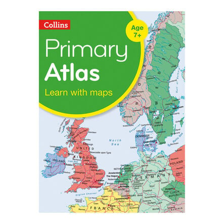
Collins Primary World Atlas KS2
https://www.tts-group.co.uk/collins-primary-world-atlas-ks2/1001033.html Product Code: make all selections to view product codeProduct Actions
Product Information
 Bulk Packs
Helping to Support Teaching and Learning
-
Comprehensive Geography Aid
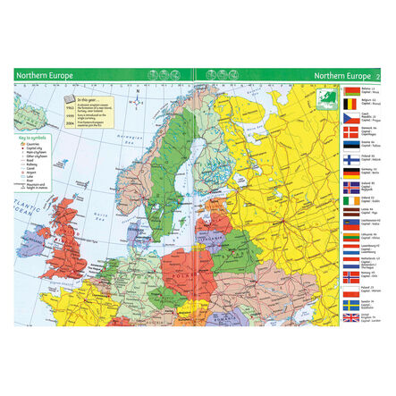
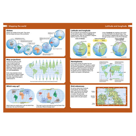
This atlas serves as an invaluable reference for diverse geography lessons, offering detailed maps and illustrations that simplify complex geographical concepts for children.
-
Engaging Visuals
Featuring easy-to-read maps complemented by satellite, aerial, and terrestrial photographs, it brings geography to life, making learning more interactive.
-
Mapping Skills Development
Introduces essential map reading skills, including understanding scales and measuring distances, equipping children with foundational geographical knowledge.
-
Curriculum Aligned
Supports Key Stage 2 geography curriculum, aiding in locational knowledge through practical map usage.
-
Geographical Skills Enhancement
Utilises maps, atlases, and digital resources to locate countries and describe features, directly supporting Key Stage 2 geographical skills and fieldwork.


