

The TTS Teaching Atlas is special because it fills a real need for non-specialist teachers about how to use an atlas and about the learning outcomes that can be achieved from using physical maps. You may remember being given an atlas in school and wondering what on earth to do with it! Our atlases encourage children not only to use the maps but also to interrogate why that particular content has been chosen. Why, if they look online, might other sources say something different?
Dig deeper and older children might conclude that maps can be political tools to reinforce a country’s dominance. If you are a school in Australia, is everything upside down? Are you still looking at the UK as the focus of the world? The answer is no – you would more than likely be looking at a Pacific-centric map, as below.

Being sensitive to the political nature of the product, we have worked closely with leading Geography Association and industry experts to show a countrywide agreed representation of our world, as well as making sure the atlases address the needs of the curriculum for geography education.
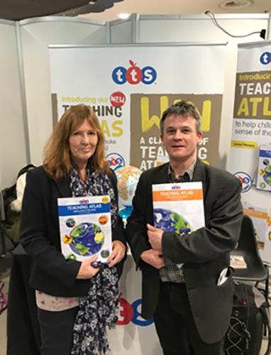
The author of the Lower Primary atlas is Dr Paula Owens who is a former Deputy Head. Paula worked as the curriculum development lead for the Geographical Association.
The Upper Primary author Ben Ballin is an educator, trainer and writer, specialising in primary geography, global learning and sustainable development.
The TTS Teaching Atlases are special because huge efforts have been made to ensure they truly support the National Curriculums across the UK – in England, Scotland, Wales and Northern Ireland. A downloadable framework is available so that teachers can clearly see the coverage.
Our specially designed Teaching Atlases fully support all areas of the UK geography curriculums. They include high-quality cartography with added content to support the development of key geographical knowledge through enquiry and independent investigation, mapping, fieldwork, extending vocabulary and supporting critical thinking skills.
- High-quality cartography with added content to support the development of key geographical knowledge
- Support the UK National Curriculums
- Cross-curricular activities

The Lower Primary Teaching Atlas
- Suitable for supporting the lower primary geography curriculum
- Features questions throughout to encourage the use of maps
- Includes cross-curricular activities
- ‘Challenge’ section with advanced questions for more able pupils

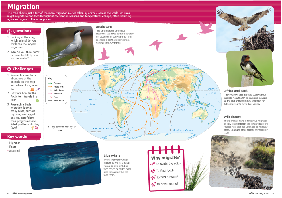
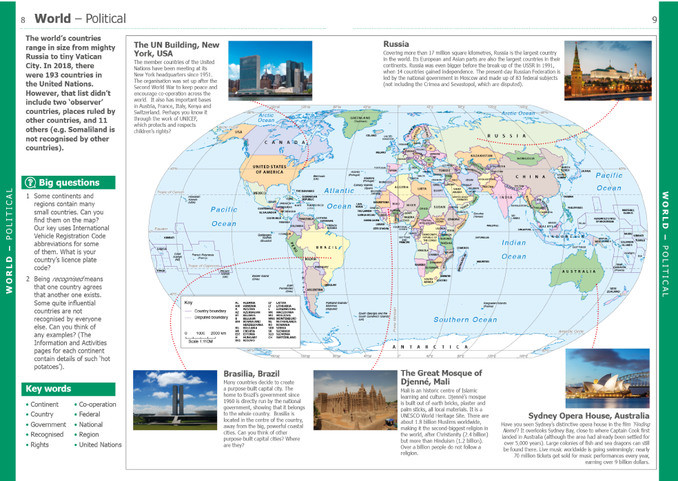
The Upper Primary Teaching Atlas
- Suitable for supporting the upper primary geography curriculum
- ‘Big Questions’ throughout support children to critically investigate a range of topics through maps, debate, further research and utilising data and spatial tools
- Includes cross-curricular activities
- Supports the history curriculum, with dedicated pages throughout providing information on key historical events and civilisations, perfect for schools who plan their geography and history lessons together
For more information visit our website.
With thanks to Maddie Holtam, our TTS Geography Product Manager and our subject experts for writing this post.