In this blog, Ben Ballin, primary Geography consultant, offers his thoughts and reflections on 12 key areas when planning your Geography curriculum.
In this blog, Ben Ballin, primary Geography consultant, offers his thoughts and reflections on 12 key areas when planning your Geography curriculum.
The following are a few questions and discussion points based on my experience as a primary geography consultant.
1. How geographical is our geography?
As Ofsted quite rightly reports, when topics are carefully constructed and delivered, they can work really well. But how far do geographical learning and language remain explicit in our cross-curricular topics? Are we finding out about real people, places and environments? Is there an argument for doing some single-subject teaching? Do we have at least one geography-led topic in each year, thereby ensuring both coverage and progression?
Many schools manage more, and with only 2/3 of a page as the National Curriculum requirement for the whole of KS1, what comes from DfE should be seen as a minimum entitlement. To help keep it manageable, we might want to consider putting place at the centre of our planning: localities at KS1, regions at KS2. It’s amazing how much can slot in around those places, which in turn afford a clear context for skills, processes, concepts and locational knowledge. There are five places prescribed for the six primary years: what else do our pupils need?
Download and view the Primary National Curriculum for Geography here.
2. Get out there
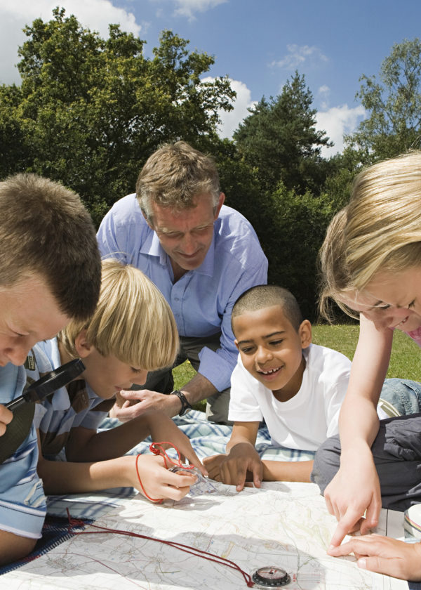
There is a world outside our window, quite literally. In fact, why not start with what we can see outside of the classroom window, and our questions about it? Beyond that, what opportunities do the school site and neighbourhood provide as a focus for fieldwork and developing mapping, observational skills and data collection? Geography is about the real world, including what’s on our doorstep, and finding out about it first-hand doesn’t have to be risky or expensive. Getting out into the world gets children engaged, immersed and can validate their existing local knowledge.
3. Only connect
What angles of connection can we find that bring unfamiliar places and themes to life for children? What will strike a chord? Are there stories, images, role-play and freeze frame opportunities we can use, to make bridges between their lives and those of people in distant places? Are there links in our local community? In today’s interdependent and globalised world, making connections between people and places, and making them feel personal, is an increasingly important ability to have. What are our classroom connections?
4. Look at it another way
One perspective on a place or an issue risks telling a stereotypical ‘single story’ about it. We can start to make sense of the world around us by listening to the accounts of many different people with many different needs and standpoints: together, they create a symphony of meaning. We know that this is true of the places we know well, but do we sometimes look at other places and people in an overly two-dimensional way? How many accounts and perspectives can we show?
5. Mind your language
We don’t want to get bogged down in concepts and language but using geographical language matters. Even very young children can use such language appropriately if it is used regularly and appropriately – after all, most words and ideas will still be new to them. In our hunger to make meaning manageable, are we sometimes missing out on learning opportunities?
6. Create a word bank
You probably have one already. National Curriculum 2014 provides a rather narrow and idiosyncratic set of geographical vocabulary, so we may want to add our own. Thinking about our own local area and community, what words will we need – including non-technical words and local terms – if children are going to talk and write meaningfully about the world around them? We should be able to use similar terms to talk about far-away places as well.
7. Maps, Maps, and more Maps
Thinking geographically means finding ways to represent the world in images as well as words. The more maps (and ‘sort-of-maps’) the merrier! What opportunities can we find to build maps of all kinds into our fieldwork, our place studies, finding our about the stories we read, and indeed into subjects such as History and Science? Just like words and numbers, the more we use maps in meaningful ways, the better. And just like literacy texts, why limit ourselves to a single genre (such as OS mapping)? The Map as Art provides a rich seam of ideas, while I can think of no better starting point for mapwork planning than Simon Catling’s phase-specific materials on the Geographical Association website.
8. A picture is worth a thousand words…
… and diverse images of an issue or a place are a superb starting point for geographical enquiry. How can we get under the skin of the images we use? What about moving images? How can we make sure that we are making the most of their learning potential? What images would we take of the places we know? How do these compare to those we are shown of other places? Why do we think people have created the images we are looking at?
9. Think global
“The global” is not just out there, in the big wide world, but also includes what happens on our doorstep. How can we encourage children to explore the connections between their own lives and that wider world, through food, shopping, culture, family connections and more? How can we help them to see the commonalities between our lives and those of others, but without ignoring the differences?
10. Questions, questions
All good geography education starts with a question: either a framing question from the teacher, or enquiry questions from children. Asking good questions together is in itself a way of constructing an understanding of the world. After all, if the world itself is endlessly changing, how on earth can we know about it if we don’t keep asking questions? It won’t stay still for long!
11. Progression as a simple story
This is one for geography co-ordinators. On my travels, I see a lot of long term planning where bits of the National Curriculum programmes of study have been cut-and-pasted into topic plans in a desperate attempt to ensure coverage. The result is often a disjointed plan, where it is hard to see a through-line for pupil progression.
If we can’t say, in plain English, what the main things are that we hope pupils to learn in each year, then we have probably made it too complicated. Imagine a chain story: the teacher of the next year group upwards should be able to pick up what we have just said and add their own sentence to it. For example, ‘pupils came into the year knowing this and being able to do that, and by the end of my year they will also know these other important things and be able to do these other main things.’ As the story progresses, we should be able to see the learning getting both broader (e.g. more places, more issues, more skills) and deeper (e.g. greater understanding, more sophisticated use of geographical terms and concepts, more effective use of skills).
12. Don’t let me tell you what to do
The points above are not tablets of stone, but points for discussion. If you could add your own here, knowing your pupils as you do, what would you write?
Thank you to Ben Ballin for writing this blog for us.
Ben Ballin is a primary consultant specialising in geography and global learning. Among others, he has worked, written and trained for Tide~ global learning, the Geographical Association, Big Brum Theatre in Education and RGS-IBG.


