Images

Save up to £160*

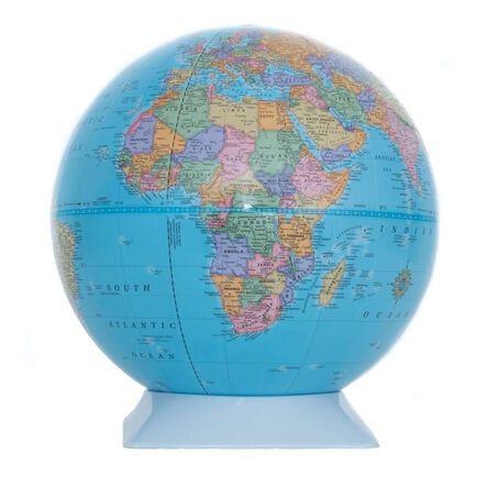
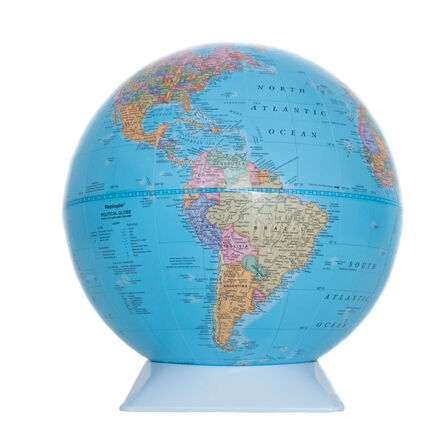
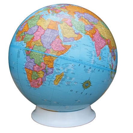
Discovery Globe KS2 23cm

Product Code: make all selections to view product code
Features up-to-date political mappings, key cities, and a transparent stand for global exploration.
Read more

Promotions

Product Actions

Add to cart options

Variations

Please make all your selections
From £36.99 ex VAT
Please make a selection

Helping to Support Teaching and Learning

Detailed Political Mapping

Emphasises up-to-date political territories and key global cities, aimed at providing a comprehensive geopolitical understanding.

Supports Curriculum Goals

Aligns with Key Stage 2 Geography curriculum goals, including geographical skills, place knowledge, and fieldwork.

Group Learning Enabled

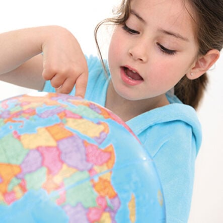
Fosters teamwork and collaborative skills as children come together to explore and discuss geographical concepts and realities.

Clear View Stand

Features a clear view stand, offering uninterrupted, 360-degree access for detailed examination and interactive learning.

Geographical Skills Development

Develops map reading, location identification, and comprehension of physical and human geography skills.

Your TTS photos

Tag your photos #takingoverTTS

Discovery Globe KS2 23cm

Features up-to-date political mappings, key cities, and a transparent stand for global exploration.

Overview

  • Enables individual or group discovery of the world through detailed cartography, ideal for advancing geographical skills.

  • This globe, suitable for children aged 7 to 11 years, presents a practical, hands-on tool for teaching Key Stage 2 Geography. It illustrates current political boundaries and cities, aiding in the comprehension of geographical differences and similarities across the globe.

  • Our KS2 23cm discovery globe features certified accurate cartography using NASA satellite imagery and is made in the UK. It is mounted on a ‘clearview’ stand and is ideal for working individually or in groups. The cartography is suitable for more advanced students with raised relief showing the world’s major mountain ranges in a tactile way.

  • Can be used cross curricular by applying mathematical knowledge by comparing sailing distances between New York and Rio de Janeiro with Plymouth, England and New York.

Supports the National Curriculum

Geography, Key Stage 2, Geographical Skills & Fieldwork

Use maps, atlases, globes and digital/computer mapping to locate countries and describe features studied.

Geography, Key Stage 2, Geographical Skills & Fieldwork

Use the 8 points of a compass, 4- and 6-figure grid references, symbols and key (including the use of Ordnance Survey maps) to build their knowledge of the United Kingdom and the wider world.

Geography, Key Stage 2, Place Knowledge

Understand geographical similarities and differences through the study of human and physical geography of a region of the United Kingdom, a region in a European country and North or South America.

Questions

Reviews