Collins First Atlas KS1
https://www.tts-group.co.uk/collins-first-atlas-ks1/1001074.html Product Code: make all selections to view product codePromotions
Product Actions
Product Information
 Bulk Packs
Helping to Support Teaching and Learning
-
Key Stage 1 Geography
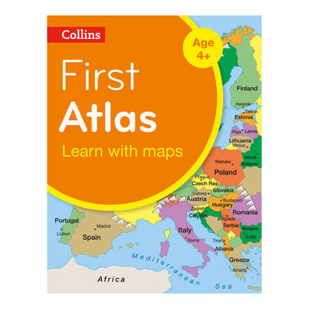
This atlas is designed specifically for Key Stage 1, making it an ideal resource for introducing basic geographical skills and fieldwork.
-
Simple Cartography
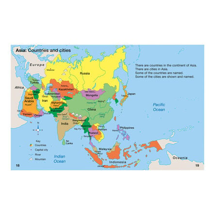
Featuring simple, colourful mapping and clear labels, this atlas helps children easily understand and engage with the content.
-
Educational Mapping
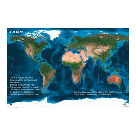
The atlas includes maps of the UK, Europe, and the world, tailored to support the geographical education of young children at Key Stage 1.
-
Interactive Learning
This atlas facilitates geographical learning, allowing children to compare globes with satellite images, which helps them understand different perspectives and features of the Earth.
-
Geographical Skills
Supports curriculum aims like using world maps, atlases and constructing simple maps, enhancing spatial awareness and map reading skills at an early age.


