Images

Save up to £160*
TTS Developed

TTS British Isles UK Map Political and Physical A1 KS1

Product Code: GE10053
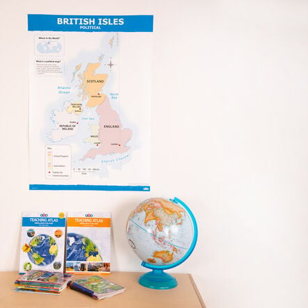
High-quality, double-sided UK and British Isles map.
Read more

Promotions

Product Actions

Add to cart options

Variations

Please make all your selections
£12.50 ex VAT £ 15.00 inc VAT

In Stock

Please make a selection

Product Information

Sizes and Measurements

    Generic Size

  • A1

TTS Developed TTS Developed

Helping to Support Teaching and Learning

Double-Sided

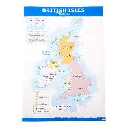
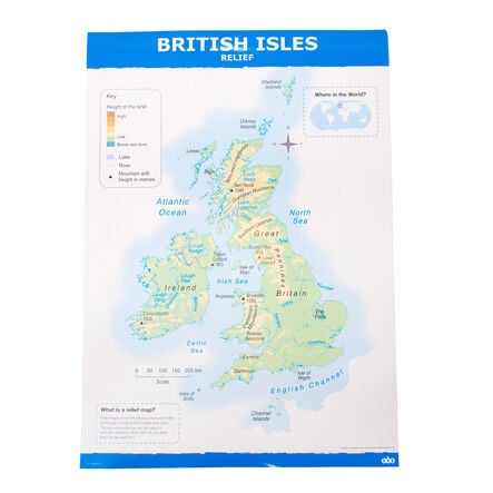
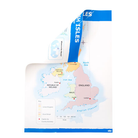
This map features a double-sided design, enhancing teaching opportunities with one side showing a political map and the other a physical/relief map.

Clear Cartography

The map provides clear, up-to-date cartography, making it easy for children to understand the differences between Great Britain, the UK, and the British Isles.

Locator Map Included

Includes a locator map, key, and scale bar that provide useful tools for developing geographical skills and fieldwork.

Supports Place Knowledge

Helps children understand geographical similarities and differences by studying human and physical geography of the UK and a contrasting non-European area.

Locational Knowledge

Assists in naming, locating, and identifying the characteristics of the four countries and capital cities of the UK and its surrounding seas.

Your TTS photos

Tag your photos #takingoverTTS

TTS British Isles UK Map Political and Physical A1 KS1

High-quality, double-sided UK and British Isles map.

Overview

  • This Key Stage 1 map clearly illustrates distinctions between Great Britain, the UK, and the British Isles for geographical learning.

  • Enhancing geographical understanding in Key Stage 1 is essential. This double-sided map is invaluable for teachers. One side features a political map with country boundaries and place names. The other side displays a physical/relief map highlighting land height and rivers. This dual functionality supports diverse learning objectives.

  • The political map helps in teaching locational knowledge. Children can name, locate, and identify characteristics of the four countries and capital cities of the United Kingdom and its surrounding seas. Clear, up-to-date cartography distinguishes Great Britain, the UK, and the British Isles.

  • The physical map aids in understanding geographical similarities and differences by studying human and physical geography. It includes a locator map, key, and scale bar. Teachers use this map to help children identify the United Kingdom, its countries, and other countries, continents, and oceans studied at this key stage.

Supports the National Curriculum

Geography, Key Stage 1, Locational Knowledge

Name, locate and identify characteristics of the 4 countries and capital cities of the United Kingdom and its surrounding seas.

Geography, Key Stage 1, Place Knowledge

Understand geographical similarities and differences through studying the human and physical geography of a small area of the United Kingdom, and of a small area in a contrasting non-European country.

Geography, Key Stage 1, Geographical Skills & Fieldwork

Use world maps, atlases and globes to identify the United Kingdom and its countries, as well as the countries, continents and oceans studied at this key stage.

Product Information

Sizes and Measurements

    Generic Size

  • A1

TTS Developed TTS Developed

Questions

Reviews