Images

Save up to £200*

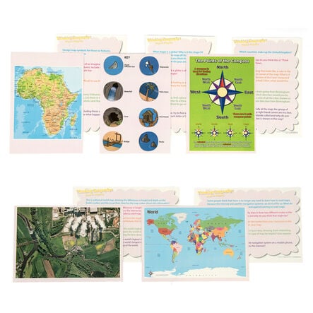
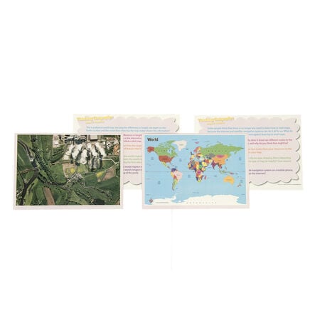
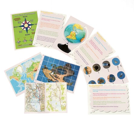
Thinking... Maps and Mapping Skills Cards

Product Code: GE10021
Foster enquiry-based learning with these activity cards, suitable for small group or full class use.
Read more

Promotions

Product Actions

Add to cart options

Variations

Please make all your selections
£19.99 ex VAT £ 23.99 inc VAT

In Stock

Product Information

Overview

Helping to Support Teaching and Learning

Enhanced Learning Tools

These cards help children observe and record local area features through sketch maps and digital technologies during fieldwork activities.

Geographical Skills Development

Provides a practical understanding of geographical features that aligns with the Key Stage 2 curriculum.

Global Knowledge

Explains global positioning and key geographical markers like the Equator and Prime Meridian for improved location awareness.

Detailed Exploration

Explores physical and human features of continents such as Europe and America, highlighting environmental regions and key cities.

Your TTS photos

Tag your photos #takingoverTTS

Thinking... Maps and Mapping Skills Cards

Foster enquiry-based learning with these activity cards, suitable for small group or full class use.

Overview

  • These activity cards are designed to elevate children's understanding of geographical concepts through practical, hands-on applications. Ideal for enhancing observation and recording skills, they incorporate activities that involve local area studies using sketch maps, digital technologies, and more.

  • The curriculum support that these cards provide help children understand how to use maps, atlases, and digital tools to locate countries and descriptive features.

  • The detailed activities help in pinpointing significant global and continental features, making these cards a valuable resource for teaching Key Stage 2 geographical skills and knowledge.

Supports the National Curriculum

Geography, Key Stage 2, Geographical Skills & Fieldwork

Use fieldwork to observe, measure record and present the human and physical features in the local area using a range of methods, including sketch maps, plans and graphs, and digital technologies.

Geography, Key Stage 2, Geographical Skills & Fieldwork

Use maps, atlases, globes and digital/computer mapping to locate countries and describe features studied.

Geography, Key Stage 2, Locational Knowledge

Identify the position and significance of latitude, longitude, Equator, Northern and Southern Hemisphere, Tropics of Cancer and Capricorn, Arctic, Antarctic Circle, Greenwich Meridian and time zones.

Product Information

Overview

    Product includes

  • 20 x A5 Cards

  • Pack size

  • 20

Size and measurements

    Paper size

  • A5

Questions

Reviews