Images

Save up to £200*

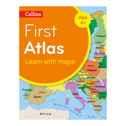
Collins First Atlas

Product Code: GFAT
Introduce children to geography with local, UK, European, and world maps, designed for clarity.
Read more

Promotions

Product Actions

Add to cart options

Variations

Please make all your selections
£10.99 ex VAT £ 13.19 inc VAT

In Stock

Product Information

Overview

Helping to Support Teaching and Learning

Key Stage 1 Geography

This atlas is designed specifically for Key Stage 1, making it an ideal resource for introducing basic geographical skills and fieldwork.

Simple Cartography

Featuring simple, colourful mapping and clear labels, this atlas helps children easily understand and engage with the content.

Educational Mapping

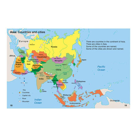
The atlas includes maps of the UK, Europe, and the world, tailored to support the geographical education of young children at Key Stage 1.

Interactive Learning

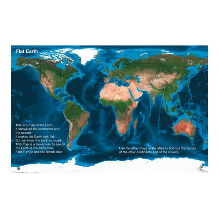
This atlas facilitates geographical learning, allowing children to compare globes with satellite images, which helps them understand different perspectives and features of the Earth.

Geographical Skills

Supports curriculum aims like using world maps and constructing simple maps, enhancing spatial awareness and map reading skills at an early age.

Your TTS photos

Tag your photos #takingoverTTS

Collins First Atlas

Introduce children to geography with local, UK, European, and world maps, designed for clarity.

Overview

  • This atlas is perfectly suited for Key Stage 1 learners, beginning with familiar local surroundings before advancing to national and global geography. By offering simple, vibrant maps, it helps children to grasp basic geographical concepts.

  • The focus is on enabling children to use world maps, atlases, and globes to identify major geographical elements. Essential mapping skills and the recognition of landmarks through map symbols are geared towards developing their capacity to understand and create simple maps, laying a strong foundation for geographical learning.

  • The atlas is structured to gradually introduce more complex geographical features, ensuring that learning is accessible and aligned with the Key Stage 1 curriculum. It supports the development of geographical skills through engagement with visually appealing and educational maps.

Supports the National Curriculum

Geography, Key Stage 1, Geographical Skills & Fieldwork

Use world maps, atlases and globes to identify the United Kingdom and its countries, as well as the countries, continents and oceans studied at this key stage.

Geography, Key Stage 1, Geographical Skills & Fieldwork

Use aerial photographs and plan perspectives to recognise landmarks and basic human and physical features, devise a simple map and use and construct basic symbols in a key.

Product Information

Overview

    Pack size

  • Single

  • Number of pages

  • 32

  • Age Range

  • Suitable for 5 to 7 years

Questions

Reviews